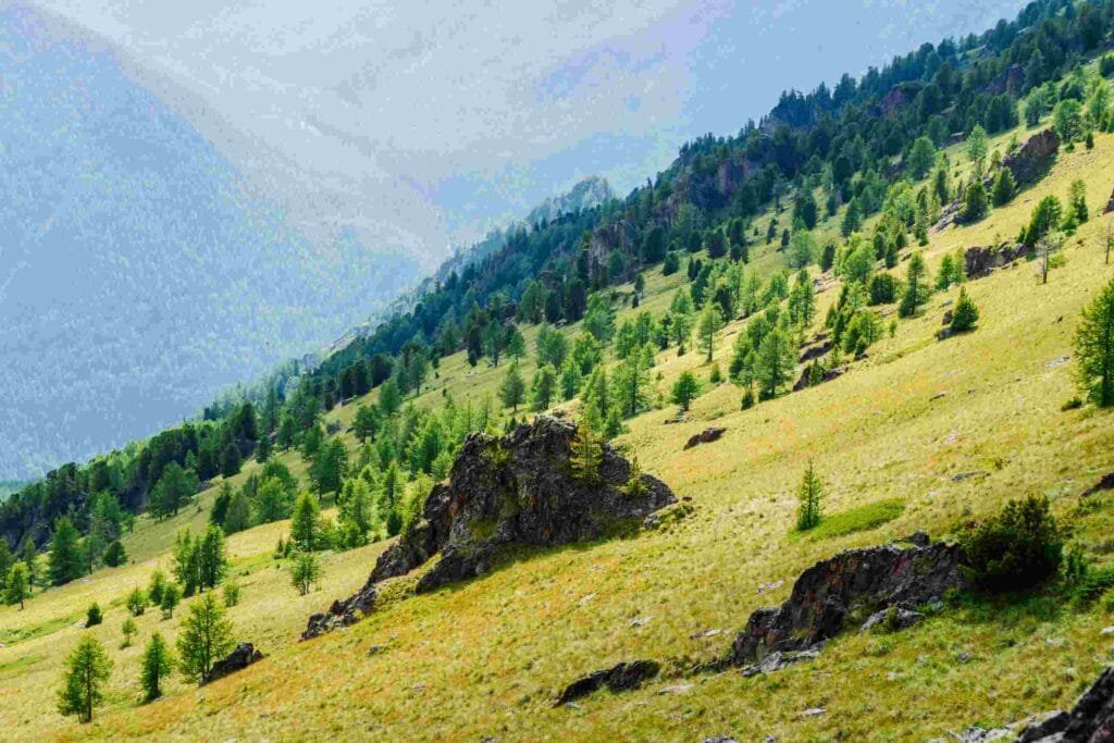
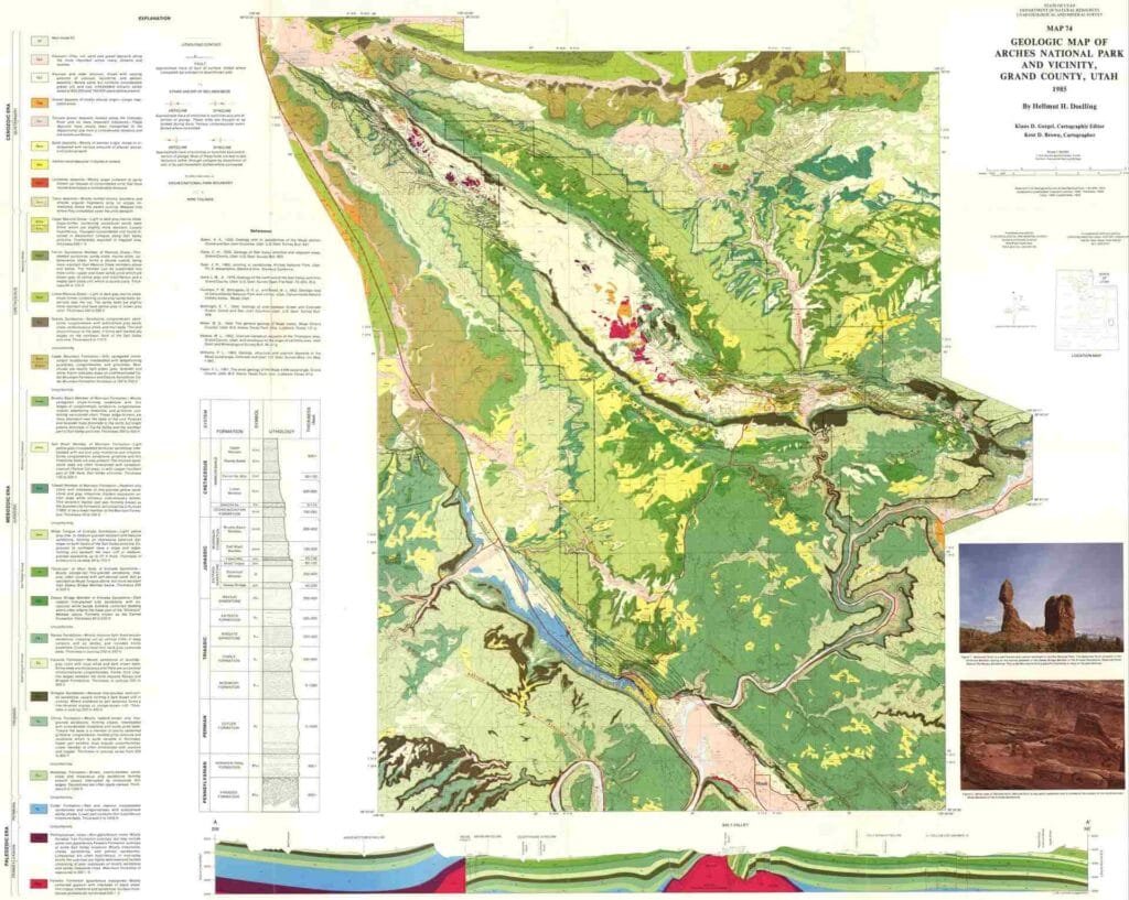
Contours are lines on maps that represent the shape and height of land, making it easy to understand the rise and fall of the terrain on a flat surface. They are used widely in fields such as engineering, land development, and outdoor activities. Here’s a closer look at what contours are, their main features, and how they help us interpret landscapes.

Table of Contents
What Are Contours?
Contours are lines on a map that connect points at the same elevation above sea level. They help us “see” the highs and lows of an area without a 3D model by showing elevation levels. Contour lines let us visualize hills, valleys, and other land features on a flat map.
Main Characteristics of Contour Lines
Contour lines follow specific rules that make them useful in reading maps and understanding land shapes. Key characteristics include:
Equally Spaced for Even Slopes: Contours spaced equally apart show a uniform slope, as seen in gentle hills or gradual inclines.
Close Together for Steep Slopes: Lines that are close together indicate a steep slope, like a cliff or sharp hill.

Widely Spaced for Gentle Slopes: When contour lines are widely spaced, they show a gentle slope or nearly flat area, often seen in valleys or plains.
Closed Loops: Every contour line forms a closed shape, although sometimes this loop continues off the edge of the map. For example, a hilltop appears as a small closed loop, with larger loops as the elevation decreases.
Water Flow Indicator: Contours bend in a “V” shape when crossing a stream or river, with the point of the “V” facing upstream. This helps in understanding water flow direction.
Index Contours: Usually, every fifth contour line is thicker and labeled with elevation for easier reading, called an index contour.
Depression Indication: Hachured (marked) contour lines point inward to indicate low areas like craters or sinkholes.
Topographic Maps and Their Application
Topographic maps are detailed representations of the Earth’s surface, showing both natural features and human-made structures. They use contour lines to illustrate elevation changes, giving users a way to visualize the shape of the land. These maps differ from standard maps by including hills, valleys, and elevation details.
Topographic Map Features
Topographic maps generally include:
Contour Lines: Indicate elevation and terrain shape.
Natural Features: Such as rivers, lakes, forests, and mountains.
Human-Made Features: Roads, trails, buildings, and other infrastructures.
Scale and Legend: Provides distance and symbols to explain the map.
These maps are usually drawn to scale (like 1:24,000) for precise details, which makes them valuable for various uses.
Common Uses of Topographic Maps
Topographic maps are versatile and serve many purposes across different fields:
Engineering and Construction
Engineers use topographic maps to plan projects such as roads, bridges, and buildings by understanding the elevation and land shape.
Land Use and Urban Planning
City planners and environmental experts use these maps to decide where to build and where to protect, such as avoiding flood-prone or steep areas for housing.
Outdoor Recreation
Hikers and campers rely on topographic maps to plan their paths, as contour lines help identify hills, valleys, and other landmarks.
Geology
Geologists study these maps to understand the earth’s surface features, rock formations, and erosion patterns.

Forestry and Agriculture
Foresters and farmers use topographic maps to assess the land, identifying suitable areas for crops and understanding water flow patterns.
Military
Military planners use topographic maps to understand the terrain for movement and positioning of troops in unfamiliar areas.
Environmental Conservation
Conservationists use these maps to monitor sensitive areas, such as watersheds, and to assess environmental impact.
Disaster Preparedness
Emergency planners use topographic maps to identify flood zones, plan evacuation routes, and locate safe zones for emergencies.
Conclusion
Contours and topographic maps are invaluable tools for visualizing and working with the Earth’s landscape. Contour lines show us elevation and slope, while topographic maps combine these lines with other features to provide a detailed picture of an area. Together, they support activities from construction and planning to outdoor adventures and disaster management, enabling informed decisions based on the land’s natural shape.
Frequently Asked Questions (FAQ)
What is the benefit of using contour lines on maps?
Contour lines make it easier to visualize the height and shape of land areas on a flat map, allowing for better planning, navigation, and decision-making in various fields.
What are hachured contour lines?
Hachured contour lines are contour lines with small inward marks that show a depression or low area, such as a sinkhole or crater.
Related Articles

